A group of us go for a walk on the 1st of each month -
Where should we go today? (1 July)
Often we (me mostly) are very late in deciding on the actual location of the walk.
The location today was chosen so that Judith could prepare a little ready for the Yorkshire Naturalists Union Excursion coming this Saturday 5 July (all welcome).
We arrived, c. 9.30, parking 303m above sea level, and chose a specific location to aim for - 1.5km directly up the hillside towards Gragareth - to SD70018001 at 460M above sea level - so that four separate hectads Sd67, SD67, SD77, SD78 could be visited within a few meters of each other.
Phillipa used her phone app and her own ears to distinguish sky larks, a snipe and a certain type of aircraft aircraft.
The field rose very steeply to some limestone outcrops - mostly well dissolved away, ...


then continued just "slightly steeply" with what is marked on the map I had been given as Purple Moor Grass Rush pastures - (I wish I had taken this map with us, not just looking at it now)
It had a little Yellow Rattle, Some Soft Rush, Oval Sedge, Sharp-flowered Rush (with septa and spaces in the leaves) and a walled off wooded gill to the north which we didn't visit. (Could do that on Saturday).
The field had lots of midges at the limestone outcrop level,
and lots and lots of Grasshoppers a little higher up.
It was a warmish day but grey and a bit muggy (So much for the heatwaves in the south of England and Spain)


Through the gate to the next field we arrived at what is labelled as Banket bog. .. I pounced on some Sphagna but think I could only see common ones - Sphagnum fallax and Sphagnum palustre. . Then we came to the big wide drainage ditch that has now had wooden dams put in to reduce the drainage and is filling with Sphagnum. This is done presumably to get the remaining peat to stay wet and thus hold onto carbon without decomposing. Wish I had taken a picture.
We walked "up stream" a little way till we found a part narrow enough to leap across (If I had looked at the map I would have seen that by just walking a few more metres we could have found the quad bike track across..)
The Bog Asphodel was in perfect condition for photographs. all the flowers just coming out. Narthecium ossifragum


on a Northern tip of VC64 (Mid West Yorkshire) Just 0.5km from Lancashire (VC 67 West Lancs) at the ridge to the summit of Gragareth and 2.5 Km from VC69 Westmorland and 2km from VC65 North Yorkshire
 |
| The millstone grit ridge to Gragareth (which is slightly to the left) - the Ridge marks the northern tip of Lancashire. |
 |
| View downhill from the same location .. with Ingleborough in the distance. |
 |
| Arctoparmelia incurva (though further chemical testing needed to be surer) |

 |
| Arctoparmelia incurva (though further dhemical testing needed to be sure) Centr top Below it is a Pertsuaria (or maybe Ochrolechia - C red, K maybe slightly yellow. |
 |
| Common species Porpidia tuberculosa and Lecanora soralifera |
 |
| View of the wall at SD70008000. |
 |
| Various Cladonia |

 |
| This crustose lichen is intriguing - it has a placodioid edge. to the top right is Trentepohlia alga. |
Time to return.
We enjoyed chatting. Phillipa told me about her son's book due to be launched in October :


 |
| Thank you Jepson Brown for telling me (via face-book) that this is a Bombus monticola - or Blberry Bumble bee BWARS says: A very distinctive bumblebee with extensive red marking over at least the last half of the abdomen, and a very bright yellow band on the front of the thorax. It is closely associated with higher altitude habitat and there may be some association with highland areas which support bilberries (Vaccinium spp.). |
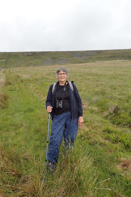
Judith and Phillip safely returned:

Interested in some aspect of in natural history?
Do come on Saturday. Bring strong footwear and waterproofs.
No comments:
Post a Comment