Which part of Britain?
Botanists in NW Yorkshire and beyond, including members of the BSBI are contributing to a survey of the plants of North West Yorkshire organised by Linda Robinson, in particular the plants of VC65 - Vice County 65. 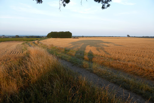
VC65?

VC65?
In 1852 Watson divided Britain into units called vice-counties. Yorkshire is so big he divided it into 5 vice counties. Even though county boundaries have changed since then, the original boundaries are used.
Settle and Ripon and Leeds are in VC 64. That was surveyed by volunteers (including yours truly), led by Phyl Abbott, and an atlas was produced in 2005.
It is good to be involved in such projects, so occasionally I go north to our adjacent VC 65. This runs from Sedbergh right down to the outskirts of Boroughbridge.

Plant records are recorded in their 1km squares, but the atlas is plotted on a tetrad basis (2x2km squares)
So August 11th finds me at Moor Lane, between Marton-le-Moor and the A1 (or more romantically, the Roman Road of Dere Street, running on the slightly higher land between the Ure and the Swale). Grid Ref: SE3769. The border between VC 64 and VC 65 runs along this square
I have looked on maps and seen that the ground is flat, the fields huge and that there are extremely few public footpaths.
But Moor Lane - a track - turns out a pleasure.
 |
| Papaver rhoeas, Poppy and look carefully for Vicia cracca Bitter Vetch and Fallopia convolvulus - Black-bindweed |
 |
| Standing under my tree. (Ash), See the size of the field. |
 |
| Black-bindweed |
 |
| Fiddleneck - Amsinckia micrantha |
 |
| Cirsium vulgare Spear Thistle - always a good subject for artists,- This was by the road, not near the track. Well I will definitely comeback another day, maybe with two friends, Kerry and Muff and continue logging plants in different parts of this 1km square SD 3970 |
No comments:
Post a Comment